I'm launching a new app
I've got something to show off, I've been working on a new app this year, and I'm getting ready to launch it on the 20th, just in time for Thanksgiving travel in the US.
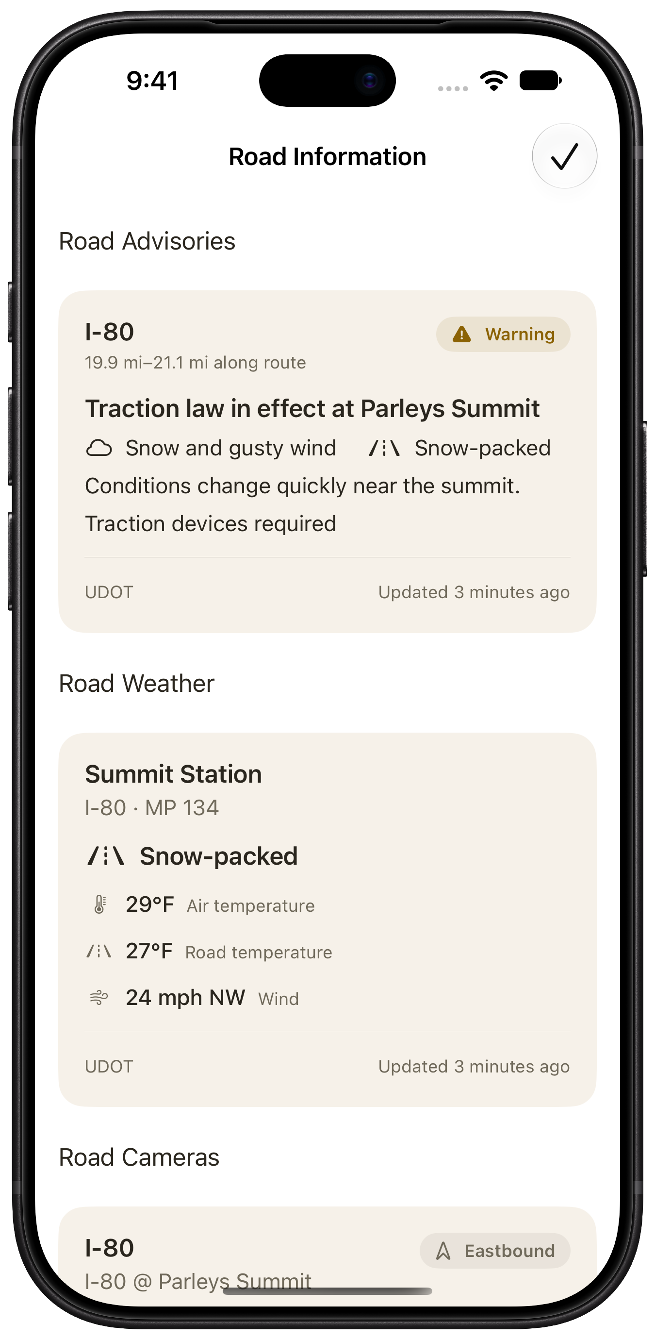
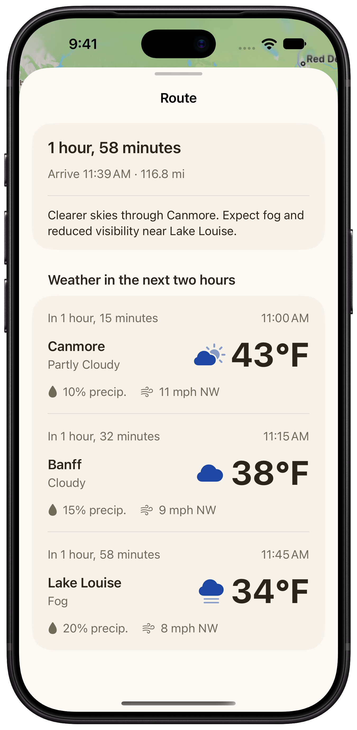
RoadCast shows what the weather is expected to be when you reach different points along your drive, alongside traffic cameras, closures, and other road reports where available.
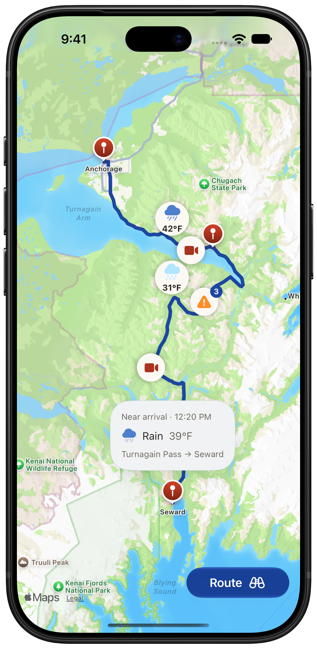
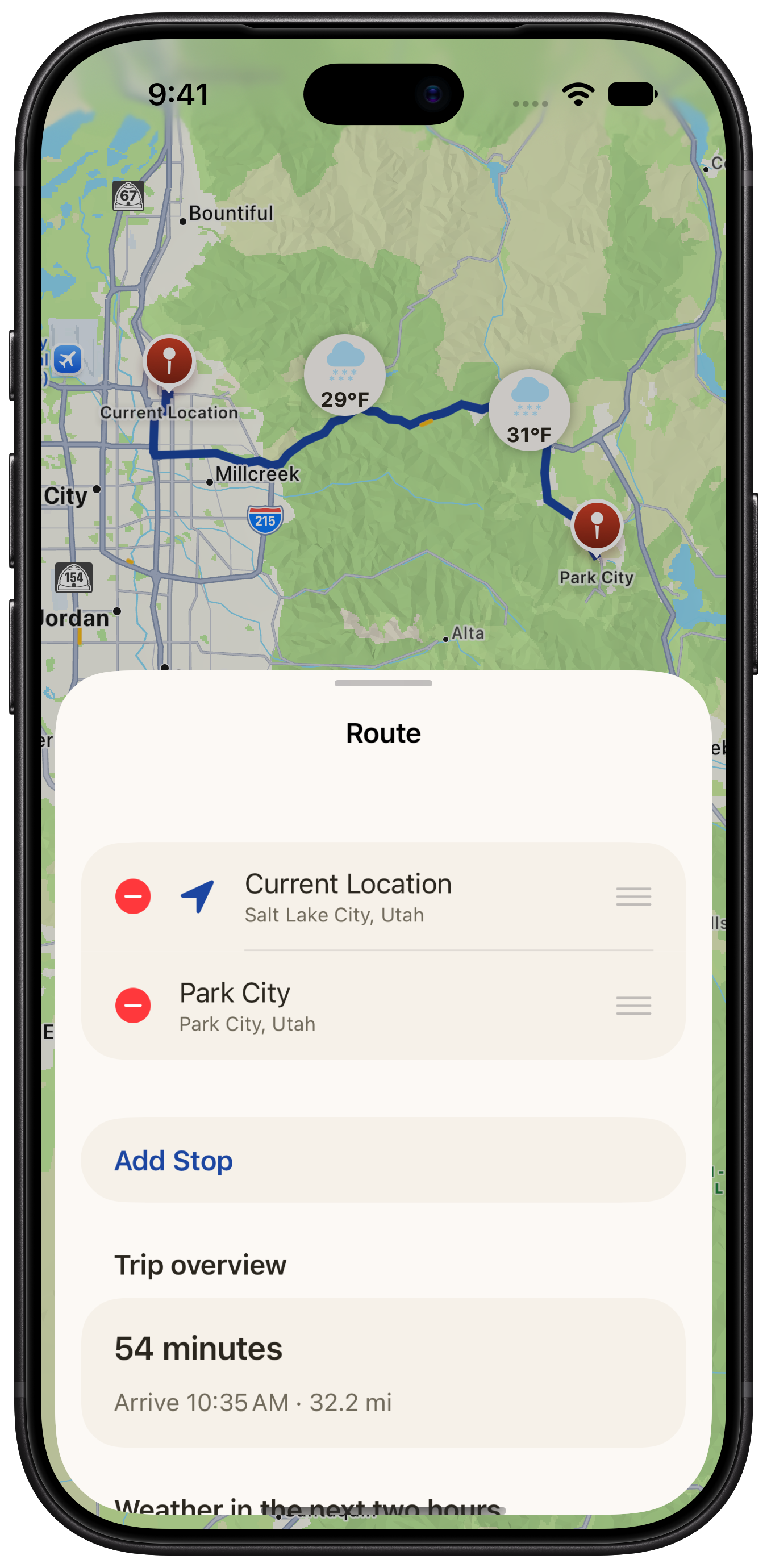
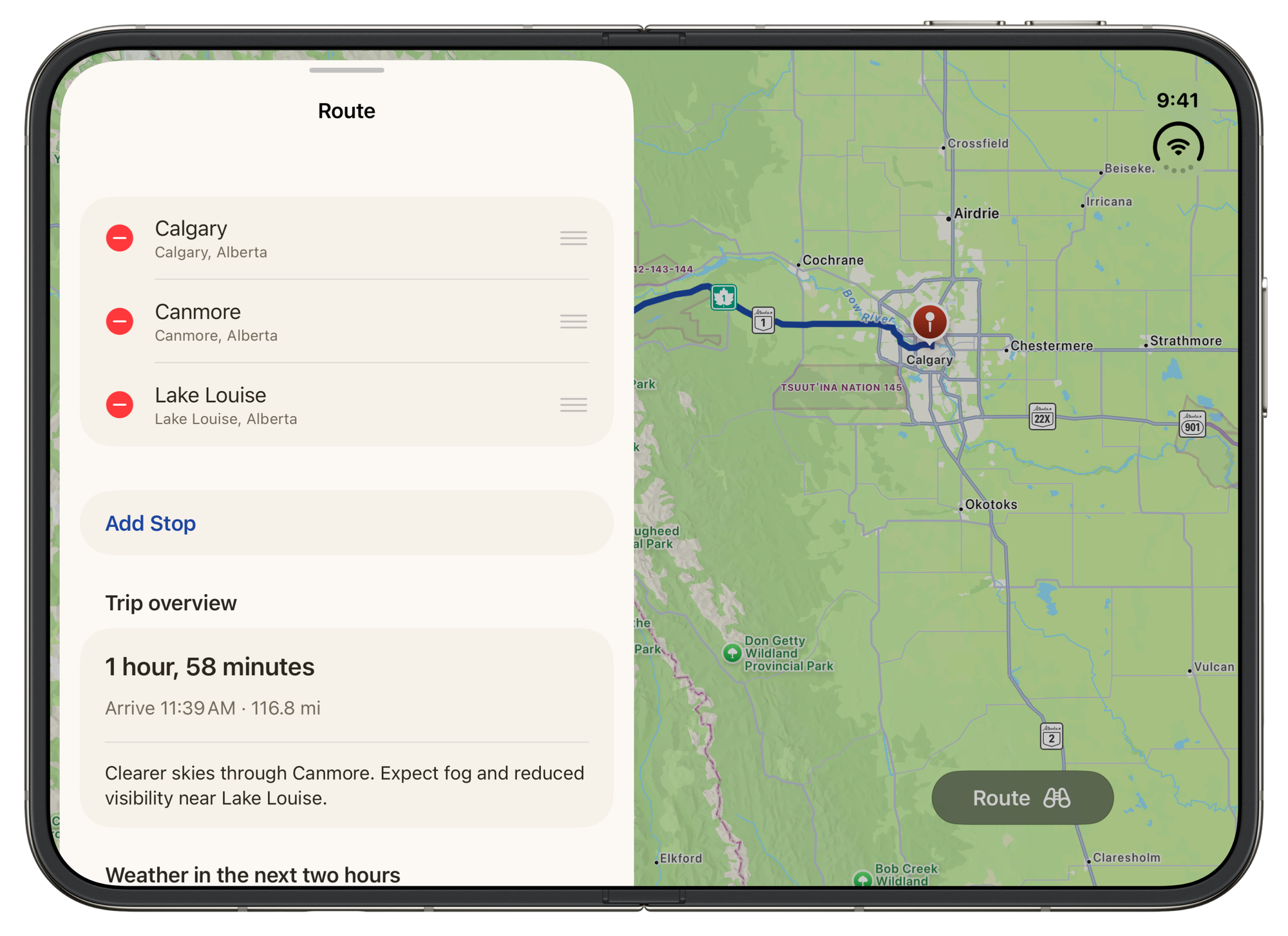
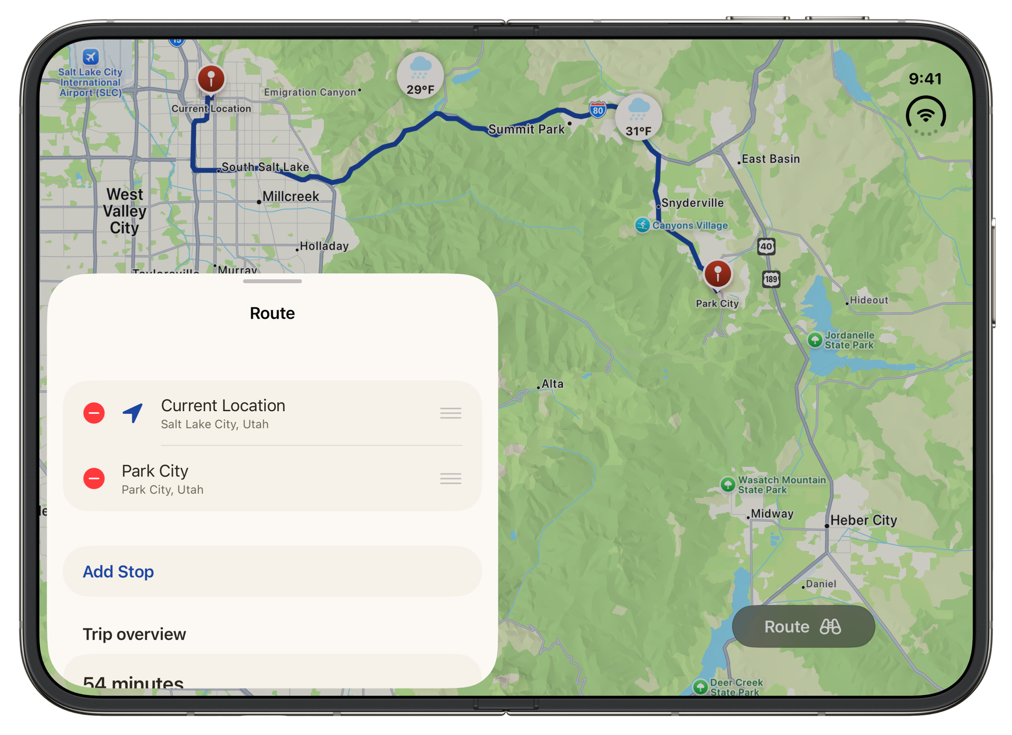
Earlier this year my wife and I were driving towards a canyon we travel frequently to visit family. It was raining on us, and it was cold, so we were a little nervous about the conditions in the canyon. It can get pretty bad when it's freezing or snowing, and there's a not-too-unreasonable detour if we know in advance we need to go around.
For years we've used an app from Utah's DOT to look at the highway cameras and roadway temperature/precipitation sensors when we're worried about the canyon, but it isn't an easy app to use. So my wife started just putting in places along the canyon into Carrot Weather to see if we could find the conditions. The forecast part way up the canyon reported snow, so we went around. But then the scheming started.
Well, weather data is pretty easy to access, I could pull weather data for multiple locations along a driving route. And I can pretty easily compute when you'll get there, so I can shift the weather to when you're likely coming through.
But wait... what about UDOT's roadway data? Is that available? It sure is. And so RoadCast was born.
Road data comes from participating U.S. and Canadian transportation agencies, and what's available varies by location.
It has been so much fun to see all of this data come together into a nice and easy-to-use app. I've found myself putting even simple routes on clear sunny days into the app just out of curiosity of what to expect.
And I'm so excited to get it out into the world for other people to use it too!